Maps of the Chu Lai Area of Operations
Our thanks for these images to our friends at the 174th AHC Dolphins & Sharks and they are used here with their permission. These charts were provided to them by Jim McDaniel who used them during his second tour in Vietnam in 1971, when he was stationed in Chu Lai with the 116th AHC Hornets
Tactical VFR Charts of the area of operations while based at Chu Lai
Note: Clicking a link will display the map in a separate window (clicking the image thumbnail will open the smaller of the two images).
If you want to see topographical maps of Vietnam, I suggest Jim Henthorn’s Web Site
| Chu Lai
North to Da Nang |
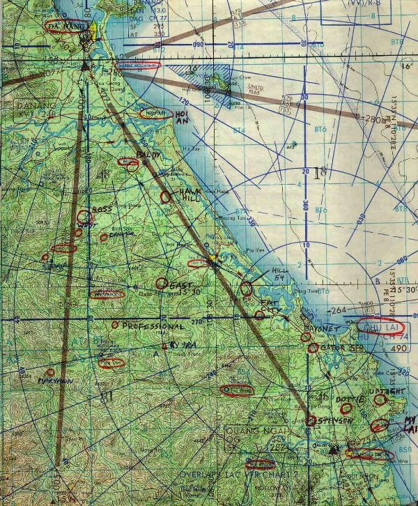
600×726 image File size: 220k |
Hi Res 1147×1391 image File size: 400k |
|---|---|---|
| Chu Lai
West to Laos |
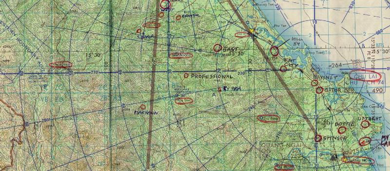
800×351 image File size: 110k |
Hi Res 1430×627 image File size: 341k |
| Chu Lai
South to Qui Nhon |
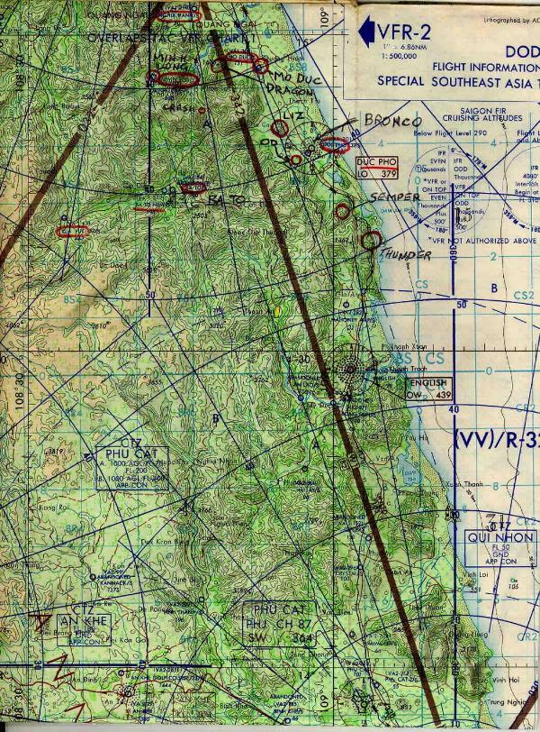
800×351 image File size: 110k |
1430×627 image File size: 341k |
| Lam Son 719 |
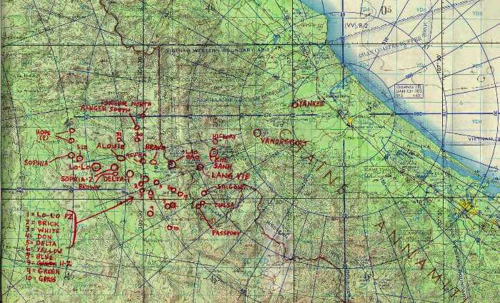
700×425 image File Size: 85k |
Hi Res 1625×987 image File size: 394k |
| Ashau Valley
Baldy North to Hue West to Laos |
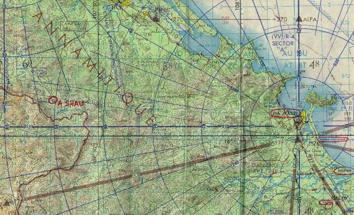
700×425 image File Size 83k |
Hi Res 1564×951 image File size: 617k |